| ACREAGE By plat of
survey dated 1981 and 2005, the tract is a total of 208.08 acres; less and
except an off conveyance at the far right corner of the Property for a total
of approximately 205 acres.
ID - IDENTIFICATION:
Spotsylvania County Tax Map 25, parcels 27,
27A
Street Address: 11232 Tidewater Trail;
Fredericksburg, VA. 22408
Latitude: 38.265105
Longitude: 77.444392
PRICE
The entire tract is priced at $12,300,000;
terms are cash. A significant cash deposit is required of any
contract. The Property is sold "As Is, Where Is".
Land Use Assessment
The property is taxed under land use,
whereby since it is farmed the entire tax bill is not paid. A change in use
will trigger "roll back taxes". The Seller will convey the property in
the Land Use program and will not pay any "roll back taxes".
ZONING
The Property is zoned light industrial, I-1;
there are no proffers or obligations to the jurisdiction with regards the
zoning, which encompasses by-right uses.
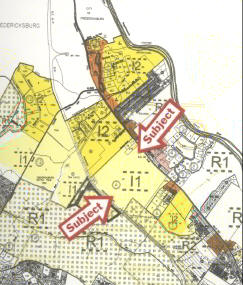
Excerpt from Spotsylvania County
Zoning Map
Please note: This might not be a
complete or accurate copy of the ordinance and there are other rules,
regulations, ordinances, at a local, state, and national level which impact
property development.
Please click
HERE
to bring up a PDF of the Spotsylvania County Zoning Ordinance -
Industrial.
The link, below, will bring up the MUNICODE online for Spotsylvania
County.
http://library2.municode.com/mcc/home.htm?infobase=12105&doc_method=cleardoc
Please click
HERE
to bring up a PDF copy of the Spotsylvania County Airport Overlay
District Regulations which set the frame work for development around the
existing airport.
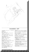 Shannon Airport, contiguous to the Property.
A regional jet-port is
located in nearby Stafford County (see information at front page).
MAPS
State of Virginia Map
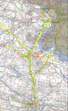
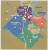 Regional Map
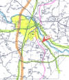 Local Map
Topographic Map with annotations:
Click
HERE
for PDF copy of larger U.S.G.S topographic map which may be
printed.
GEOLOGY, TOPOGRAPHY
The Property is located east of the fall line
of the Rappahannock River within the inner Coastal Plain and is within the
drainage area of the Rappahannock River. Elevations range from about 85 feet
to 100 feet in broad level to gently rolling terraces.
OPEN LAND
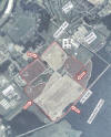
ASCS Aerial: The United States
Department of Agriculture takes aerial photos and sets the acreage of
tillable, arable lands for crop reporting purposes. According to this
photo, there are 193.8 acres open, under cultivation
on the Property. As a general rule, crop land has the highest degree
of utility for other uses as well.
SOILS
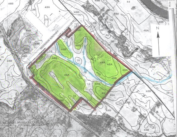
# 48 is the Wickham Series: "...consists
of deep, well drained soils that formed in alluvium. Wickham soils are
on terraces along the larger streams in Spotsylvania County. 48A - slopes of
0-2%; 48B - slopes of 2-7%. This is a class 1 soil with a high degree
of utility.
Source: Elder, John, Soil Survey of
Spotsylvania County, Virginia; Va Tech, USDA, 1980; survey conditions as of
1978.
# 16 is a Dogue loam; "This is a nearly level,
moderately well drained soil on broad terraces along the larger streams."
It is a class II soil due to wetness, slow permeability.
#6 is Aquults, gravelley substratum; "These are
deep, nearly level, poorly drained and somewhat poorly drained soils on
broad, slightly concave terraces along the larger streams." It is a
class V soil due to wetness. This is the smallest percentage of the
Property and is the location of the streams.
Please note: Boundaries are approximate;
from pages 17, 18.
PLEASE NOTE:
The Property is contiguous to and across the CSX Rail line from a
National Battlefield Park. The Subject Property, much like the greater
Fredericksburg area, had seen action during the Civil War. There are
those who believe the Subject Property and or parts of it are historic.
However, the Subject Property is zoned industrial, and is available for
development.
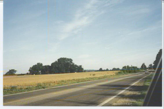
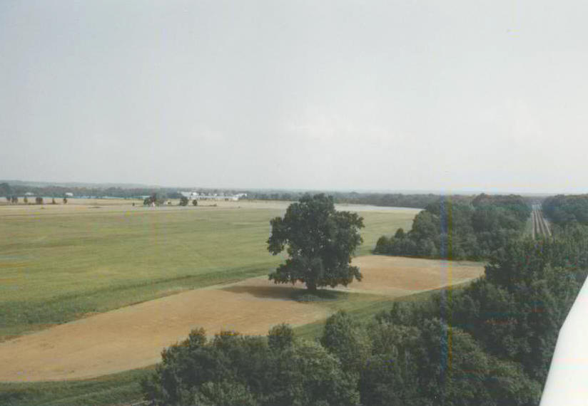
The Property is level to gently rolling, at
grade or nearly so to both Routes 2/17 (Tidewater Trail) and CSX rail.
Open fields which have been farmed over a
century and a half dominate the Property.
 view of "stream", drainage ditch, looking towards the airport
 view of "stream", drainage ditch, looking toward General Motors
|